"Google this: "Rachael Ray Geography Whiz" if you don't believe what you see. Lilly will also have a clip featured on Leno after the writer's strike hiatus.
Lilly is my niece. She was 23 months old when this was done in August 2007 in her parents small one bedroom apartment. She now knows over 80 countries. Yes, we know that Tasmania is not a country everyone. It's still a fun place to know.
She knows better geography than a 5th grader. She has been doing this for about 8 months. She is one funny niece. If you think that this is cruel and unusual, get a life. "
Map Reading
An Educator's Reference Desk Lesson Plan from eduref.org-
*referred by
Lesson Planet " - Your lesson plan search engine. Find the best lesson plans for teachers including math lesson plans and science lesson plans.
Lesson Planet
The Search Engine for Teachers
* Lesson Plans
* Worksheets
* Standards
Search Over 150,000 Teacher Reviewed Lesson Plans and 75,000 Worksheets
"Procedure:
Part I
1. Show students a city map that has been blown up & attached to the bulletin board
2. Review your cities location in the state of & country of, the compass rose & direction words. Point to a street on the map and ask according to the compass which direction does this street go.
3. Discuss the work landmark and its meaning. Next point out a landmark on the map such as a lake. Ask students to describe what a lake looks like. Have a volunteer come to the chalkboard and draw a picture that could represent a lake.
4. Talk about a few other landmarks, such as a river, park, airport, etc.
5. State that those landmarks (the work lake, park, airport) are represented by symbols
6. Ask how they think they could be represented through drawing
7. Use an opaque projector or chart to demonstrate a sample key that a cartographer might use. Symbols should represent those landmarks just discussed as well as others such as railroad, bridge, hospital, school, etc.
8. Challenge students to design a map. It could be related to a story they're reading or one they are familiar with such as the three little pigs. They need to use a key at the bottom of their map identifying the symbols used, and should use at least three symbols on their map. " Where am I ?
A Third Grade Social Studies Unit on
How to Read a Map , from chariho.k12.ri.us " Application of Skills
1. V/S; L/M - Mapping Where I Live - Students build a model community out of recycled cereal boxes and other art materials
1a). Students draw an aerial view of their home, school or neighborhood (M2b)
1b). Students will study a large map of present day Hope Valley to:
o find the location of their home.
o determine what village their home is near
o determine the approximate mileage between their home and their school
o determine the distance between a variety of locations within the town of Hope Valley."
* WEB SITES:
Comedy
Google Maps (Part I of "The Googling")
"Two young men take a turn down the wrong street view. "
"... confronts some of the most pressing natural resource and environmental issues of our Nation. Observing the Earth with remote sensing satellites, USGS geographers monitor and analyze changes on the land, study connections between people and the land, and provide society with relevant science information to inform public decisions...
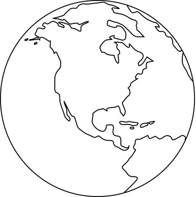
"North on Top
Maps use north, south, east, and west to describe direction, but cartographers (mapmakers) generally orient their maps and globes with north at the top. There is a historical reason for this. Europeans who first explored beyond their own continent used maps. The North Star was their guide, and they naturally drew maps with their homeland at the top.
Latitude and Longitude
Maps use a grid of imaginary lines known as latitude and longitude. These lines help to identify the absolute location of any point on the Earth's surface. They are denoted by the symbols (°, ', ") and are called degrees, minutes, and seconds of arc (not of time). Northern and southern latitudes are calculated from zero degrees at the Equator to ninety at the northernmost and southernmost points.
Lines of longitude are measured from Greenwich, England for historical reasons. The north-south meridian that passes through the Royal Astronomical Observatory in Greenwich is the prime meridian. It divides the eastern hemisphere from the western hemisphere.
"..is the study of the Earth and its lands, features, inhabitants, and phenomena.[2] A literal translation would be "to describe or write about the Earth". The first person to use the word "geography" was Eratosthenes (276-194 B.C.). Four historical traditions in geographical research are the spatial analysis of natural and human phenomena (geography as a study of distribution), area studies (places and regions), study of man-land relationship, and research in earth sciences.[3] Nonetheless, modern geography is an all-encompassing discipline that foremost seeks to understand the Earth and all of its human and natural complexities—not merely where objects are, but how they have changed and come to be. As "the bridge between the human and physical sciences," geography is divided into two main branches—human geography and physical geography...
Thank you for visiting GoodnewsEverybody! Please feel free to e-mail me (Sal) at info@goodnewseverybody.com on any comments, suggestions (e.g. any new websites),complaints, or anytype of feedback to improve this website.